 Lincoln, NE, November 2009 Weather and Climate Data
 |
 |
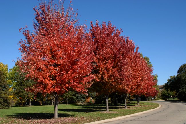
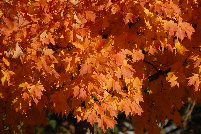
| Autumn Colors Gallery 2009 One | Autumn Colors Gallery 2009 Two |
LAST MONTH: October 2009 Lincoln Data
NEW WEBSITE: Storm Horizons (Severe Weather Climatology)
NEWS: November 2009 was warmer than October 2009 in Lincoln, NE
NEWS: November 2009 was warmer than October 2009 in Omaha, NE
Climate News:
All data in the following table are from the National Weather Service, Lincoln, NE, Municipal Airport
location.
AVERAGE AND
TOTAL are NOVEMBER 2009.
Year 2009 Precipitation (in inches)
Compared to Normal (RED is above normal and
BLUE is below normal)
JAN
FEB
MAR
APR
MAY
JUN
JUL
AUG
SEP
OCT
NOV
DEC
TOTAL
2009
0.38
0.64
0.18
1.52
1.17
6.18
1.84
3.20
1.25
4.24
0.06
.
20.66
NORMAL
0.67
0.66
2.21
2.90
4.23
3.51
3.54
3.35
2.92
1.94
1.58
0.86
28.37
.
Lincoln Extremes: Lowest Total Precipitation (inches)
Days: 11/1 - 11/30; Length of period: 30 days; Years:
1887-2009
Rank Value Ending Date
1 0.00 November 1894
2 0.01 November 1989, November 1954
4 0.02 November 1949, November 1921
6 0.03 November 1976, November 1900
8 0.04 November 1932, November 1927,
November 1914
11 0.05 November 2007, November 1917,
November 1911
14 0.06 November 2009,
November 1936, November 1925
17 0.08 November 1980
November
PCPN
MAX
MIN
73
34
54
+9
0.00
11
56
28
42
-3
T
23
54
23
39
-5
T
26
58
27
43
-1
0.00
22
68
25
47
+4
0.00
18
71
43
57
+14
0.00
8
70
38
54
+12
0.00
11
74
38
56
+14
0.00
9
62
31
47
+6
0.00
18
62
33
48
+7
0.00
17
61
30
46
+6
0.00
19
69
45
57
+17
0.00
8
58
46
52
+13
0.00
13
54
35
45
+6
T
20
45
31
38
0
T
27
46
37
42
+4
0.06
23
54
24
39
+2
T
26
47
22
35
-2
0.00
30
51
29
40
+4
0.00
25
55
24
40
+4
0.00
25
60
20
40
+4
0.00
25
56
45
51
+16
0.00
14
50
37
44
+10
T
21
48
29
39
+5
T
26
47
26
37
+3
T
28
46
23
35
+2
0.00
30
67
26
47
+14
0.00
18
62
23
43
+11
0.00
22
46
19
33
+1
0.00
32
59
18
39
+8
0.00
26
0.06
621
0.0
+8.5
+3.3
+5.9
-1.52
-185
-2.6
November
PCPN
MAX
MIN


Warmest recorded November temperature, 85 F, November 13, 1999.
Coldest recorded
November temperature, -15 F, November 27, 1887.
Most November
Snowfall: 12.6 inches, 1957.
NORMAL is the
1971-2000 Standard Normals.
DEPARTURE is
NOVEMBER 2009 Average measured against
1971-2000 Normals.
MAX = Observed
Maximum and MIN = Observed Minimum temperatures.
MEAN = Observed
Mean Daily temperature.
DEP = Departure
from normal ( -- = below normal, + above normal).
PCPN = Observed
daily precipitation (midnight to midnight, CST).
REC PREC. = Record
Daily Precipitation amount in inches
REC MAX = Record
Maximum temperature.
REC MIN = Record
Minimum temperature.
HDD = heating
degree day units (base of 65 degrees).
CDD = cooling
degree day units (base of 65 degrees).
AVG MAX = Daily
Normal High Temperature (1971-2000 normals).
AVG MIN = Daily
Normal Low Temperature (1971-2000 normals).
AVG MEAN = Daily
Normal Mean Temperature (1971-2000 normals).
SNOW = Snowfall in
inches.
School of Natural Resources
