
 |
 |
Last month's Data: (November 2008)
Sunday, Dec. 21, 2008,
6:02 AM CST (12:02 GMT), marks the Winter Solstice—
the beginning of winter in
the Northern Hemisphere and summer in the Southern Hemisphere.
|
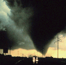
Central Plains Severe Weather
Symposium and Family Weatherfest Saturday, April 4, 2009
Event Website: Click Here |
 |
Year 2008 Precipitation (in inches): compared to normal: red is above normal, blue is below normal
| 3.80 | 4.12 | 8.59 | 3.58 | ||||||||||
Monthly Snowfall 2008-09
Nebraska Winter Weather Forecast Page
 |
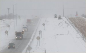 |
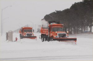
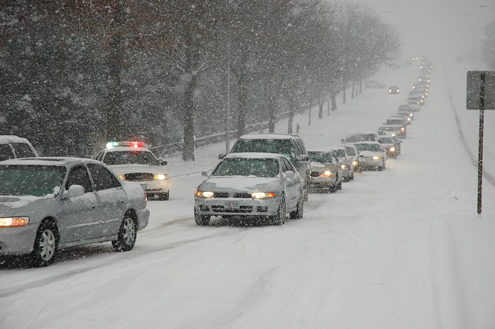
First Snowstorm of the Season (Photo Gallery) |
First Snowstorm of the Season (Photo Gallery) |
Also, check out our new Photo Galleries Web Site
| December | PREC |
MAX |
MIN |
MAX |
MIN |
MEAN |
|||||||||
| December 1 | 35 | 18 | 27 | -4 | 0.00 | 38 | |||||||||
| December 2 | 55 | 20 | 38 | +7 | 0.00 | 27 | |||||||||
| December 3 | 38 | 17 | 28 | -2 | 0.03 | 37 | 0.4 | ||||||||
| December 4 | 25 | 11 | 18 | -12 | 0.00 | 47 | |||||||||
| December 5 | 41 | 7 | 24 | -6 | T | 41 | |||||||||
| December 6 | 40 | 15 | 28 | -1 | 0.00 | 37 | |||||||||
| December 7 | 42 | 19 | 31 | +2 | T | 34 | T | ||||||||
| December 8 | 47 | 30 | 39 | +10 | T | 26 | T | ||||||||
| December 9 | 30 | 13 | 22 | -6 | T | 43 | T | ||||||||
| December 10 | 39 | 8 | 24 | -4 | 0.00 | 41 | |||||||||
| December 11 | 46 | 17 | 32 | +4 | T | 33 | |||||||||
| December 12 | 45 | 18 | 32 | +5 | 0.00 | 33 | |||||||||
| December 13 | 60 | 23 | 42 | +15 | 0.00 | 23 | |||||||||
| December 14 | 51 | 1 | 26 | -1 | T | 39 | T | ||||||||
| December 15 | 8 | -4 | 2 | -25 | 0.00 |  |
63 | ||||||||
| December 16 | 10 | -6 | 2 | -24 | 0.19 | 63 | 3.3 | ||||||||
| December 17 | 23 | -6 | 9 | -17 | 0.00 | 56 | |||||||||
| December 18 | 29 | 1 | 15 | -11 | 0.45 | 50 | 0.5 | ||||||||
| December 19 | 28 | 15 | 22 | -3 | 0.12 | 43 | 1.0 | ||||||||
| December 20 | 20 | -1 | 10 | -15 | 0.01 | 55 | 0.2 | ||||||||
| December 21 | 5 | -7 | -1 | -26 | 0.00 | 66 | |||||||||
| December 22 | 19 | -12 | 4 | -21 | T | 61 | 0.1 | ||||||||
| December 23 | 35 | 14 | 25 | +1 | 0.00 | 40 | |||||||||
| December 24 | 17 | 3 | 10 | -14 | T | 55 | T | ||||||||
| December 25 | 42 | 4 | 23 | -1 | 0.00 | 42 | |||||||||
| December 26 | 61 | 29 | 45 | +21 | 0.00 | 20 | |||||||||
| December 27 | 29 | 23 | 26 | +2 | T | 39 | T | ||||||||
| December 28 | 46 | 17 | 32 | +9 | 0.00 | 33 | |||||||||
| December 29 | 48 | 27 | 38 | +15 | 0.00 | 27 | |||||||||
| December 30 | 47 | 17 | 32 | +9 | 0.00 | 33 | |||||||||
| December 31 | 29 | 6 | 18 | -5 | 0.00 | 47 | |||||||||
| December | PREC |
MAX |
MIN |
MAX |
MIN |
MEAN |
|||||||||
| 0.80 | 1292 | 5.5 | |||||||||||||
| 23.1 | |||||||||||||||
| -1.6 | -5.2 | -3.4 | -0.06 | +104 | +0.1 |
Warmest recorded December temperature, 75 F, December 6, 1939. Coldest recorded December temperature, -27 F, December 22, 1983. Most December Snowfall: 22.3 inches, 1945. Least December Snowfall: 0.0 inches, 3 of the last 109 years (2004, 1991 & 1928) AVERAGE AND
TOTAL are DECEMBER 2008. |
University of Nebraska-Lincoln Applied Climate Sciences Group School of Natural Resources |
Return to: The Lincoln, NE Climate Home Page
 |
 |
First Snowstorm of the Season (Photo Gallery) |
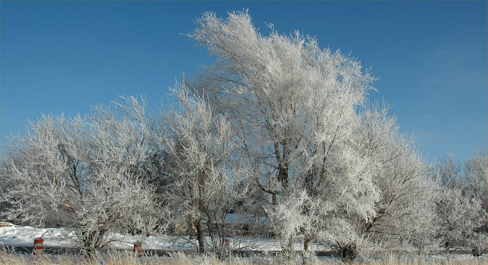
Freezing Fog and Mist Create a Winter Wonderland |